![]()
| An
Loc - Quan Loi - Loc Ninh
Bu Dop - Dong Xoai - Phouc Binh - Song Be Phu Loi - Bien Hoa - Di An - Saigon Long Thanh - Plantation - Xuan Loc Originals of the above maps can be found at: Jim Henthorn's Maps of South East Asia - Vietnam, Laos, Thailand & Cambodia
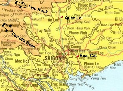
Where was An Loc/Quan Loi?
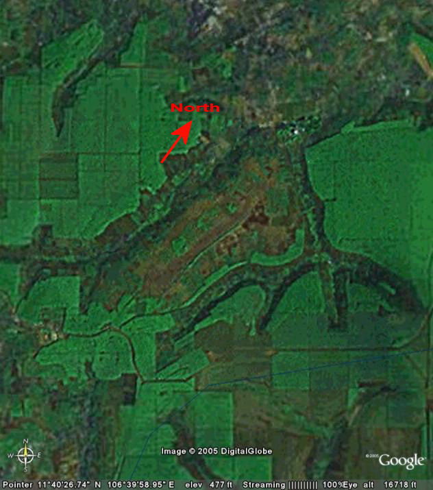
FSB Defiance and FSB Burkett Vietnam 1970 - Map Labels Courtesy Reed McDonald
Jim Henthorn's Maps of South East Asia - Vietnam, Laos, Thailand & Cambodia One of the best Vietnam Map Websites
Ray Smith's Map Room A Terrific Source of Maps Concerning Vietnam Areas of Operation and Topographic Digital Map Images - See Some Relevant Maps Below
South Vietnam Reference Map - This is a fine interactive map on the C-7A Caribou Association website
Maps of Vietnam - Visit this Map Room on The Vietnam Veterans Home Page for extensive Vietnam Maps
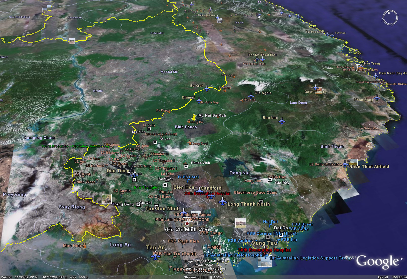
Vietnam War Map - A copy of a find satellite labeled map from Google Earth.com. Note - look for incorrectly labeled Quang Loi (LZ Andy)
Quan Loi Present - A labeled copy of a satellite image of present day Quan Loi from Google Earth.com
III Corps Northwestern TAOR Chart TPC K-10D - Bu Prong, Loc Ninh, Cambodian Border, Song Be (440Kb)
All digital map images © 1996-2007 Ray Smith. Do not copy or reproduce map images or text without prior written permission.
|
![]()